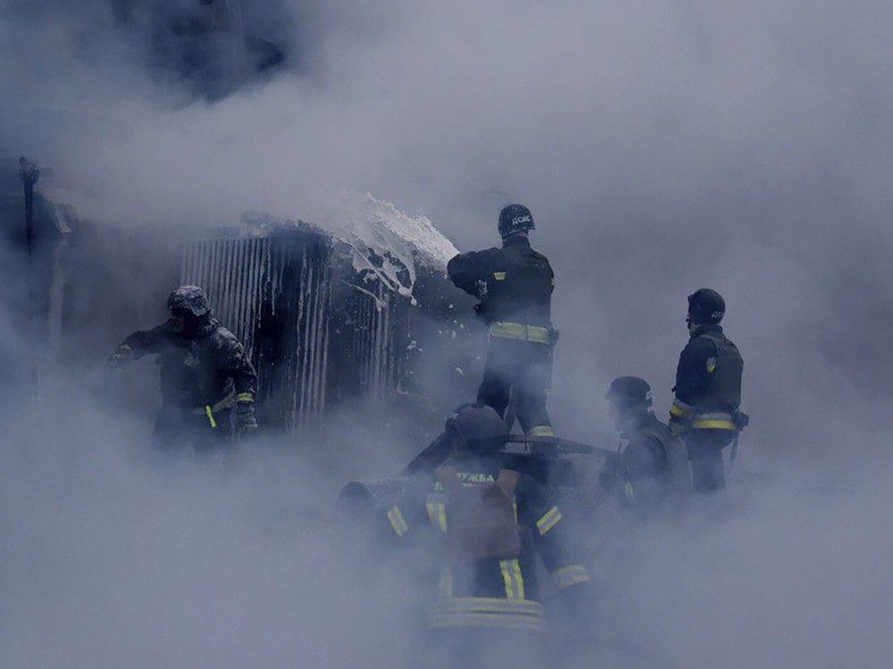
Much of the U.S. bracing for a big blast of winter — and serious cold

1 week ago 12
Jan. 2, 2025, 3:04 AM UTC

A blast of Arctic air will send temperatures dropping across the Eastern United States this week — and the frigid conditions could linger longer and expose millions to a prolonged and dangerous bout of winter weather.

“We’re going to be stuck in a cooler pattern,” said Zachary Yack, a National Weather Service meteorologist based in Chicago. “It will definitely go into the middle and early part of next week.” 

The Arctic outbreak has already sent temperatures tumbling in the northern Plains states. Forecasters predicted Minneapolis’ high temperature would be 20 degrees Thursday and drop to 12 degrees Saturday.  

In Chicago, high temperatures were expected to hover in the low 20s for the next week. Forecasters in both cities expect overnight temperatures to drop into the single digits. 

Yack said a low pressure system was moving south and pulling Arctic air from northern Canada behind it. 

Distortions in the jet stream — patterns of strong winds in the upper atmosphere — will allow the cold air to stagnate and linger over much of the Eastern United States. 

“The jet stream is going to be centered across the central and southern part of the United States. There isn’t anything that’s going to be moving it back,” Yack said. 

Temperatures are expected to remain well below average — even for January. 

The system won't be confined to the Midwest and Plains states.

“The coldest air of the season to date and dangerous wind chills are likely across many areas of the Southeast,” the National Oceanic and Atmospheric Administration’s Climate Prediction Center wrote in a long-term forecast. “Below freezing temperatures are possible as far south as the Gulf Coast and much of the Florida Peninsula. Impacts to highly sensitive citrus crops are possible.” 

Snow is possible in the southern Plains states and the Southeast, with the potential for heavy snow in the Appalachian Mountains, the Ohio Valley, the Great Lakes and the interior Northeast. 

The Climate Prediction Center’s forecast eight to 14 days in advance predicts lower-than-average temperatures for nearly all of the Eastern United States, indicating the system could continue to linger beyond next week.

Yack said he's concerned for people in Chicago who work outside and vulnerable populations, like those experiencing homelessness.

"You could have wind chills below zero. That could lead to frostbite in short periods of time," he said.

*** Disclaimer: This Article is auto-aggregated by a Rss Api Program and has not been created or edited by Bdtype.

(Note: This is an unedited and auto-generated story from Syndicated News Rss Api. News.bdtype.com Staff may not have modified or edited the content body.

Please visit the Source Website that deserves the credit and responsibility for creating this content.)

Watch Live | Source Article